Mapping’s Gaming Future Can’t Come Quick Enough
by Brian Timoney
Confession: my gaming career ended in 1979 when Asteroids was released. Overwhelmed by multi-axis movement and the hyperspace button, I allocated my arcade quarters to analog pinball and turned my back on console gaming.
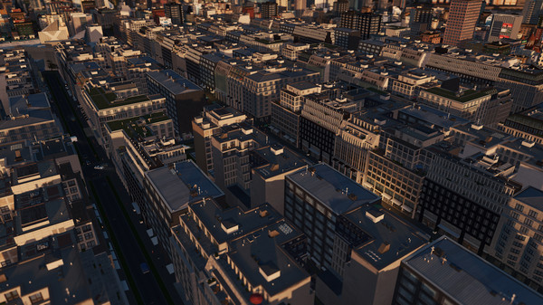
As my mapping career marches into its third decade, I impatiently await the re-energizing of online mapping that can transform the massive amounts of new geographic data and visualization techniques into something even fractionally compelling as fake gaming landscapes.
In 2013 my frustration with the stale GIS paradigm being stuffed into a browser and called a “portal” was extreme enough to write five blog posts on the topic. Fast forward to the present, and every couple of months a well-meaning soul will reference the series and remark “and nothing has changed!”
If only I could weaponize an exclamation mark.
While the mapping tilt towards gaming and gaming-like landscapes and experiences has been underway awhile, whether it be Google Maps and Mapbox offering Unity SDKs or ESRI’s CityEngine offering. But a couple of recent announcements caught my eye:
- LiDAR import support in Unreal Engine
- Cesium teaming up with Epic Games to integrate Cesium’s 3D globe into Unreal Engine
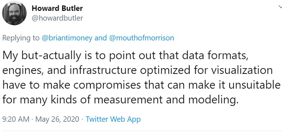
Now with frames-per-second being one of the most important metrics to be optimized in gaming, one of the advantages of fake landscapes is they can be created, modified, and, well, faked to optimize on frame rate. Howard raises the question as to whether these optimizations can’t help but come at the expense of geodetic accuracy when using “real” geographic data:
That said, the second announcement is very interesting insofar as it appears to be a global scale effort to make the “real world” work in the gaming context: I’ll be cheering Cesium on.
Now if the current status quo of online mapping mostly works for you, you’re asking if all of this is “must have” or merely “nice to have”. During a recent webinar put on by L3 Harris, multiple participants talked about the desire for a more immersive experience, etc. But I would put it more strongly: in a world where organizations are spending more money for custom data collection– imagery, LiDAR. IoT, etc.—they will soon demand a consumption experience commensurate with their data purchase. We can’t make our clients spend more on ingredients but continue to serve them generic too-long-under-the-heat-lamp consumption experiences.
* * * *
Enough with this weak tea hand-wavy thought leadership bro–I want custom terrain in my video games now.
No problem. Bro. I hope you like golf.
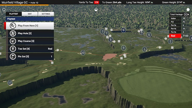
Because we here at Mapbrief believe in the spirit of DIY. In The Golf Club 2019 , there are tools for users to create their own courses, etc. So one particularly motivated user published a tutorial for using USGS LIDAR data and OpenStreetMap data for creating your own real courses.

So let’s celebrate that in some small measure that the era of Bring-Your-Own-Data to your favorite video game has already arrived!
— Brian Timoney


